Wednesday, June 11, 2014

Testudinate "Beehive?"

Above is a Matt H photo of a 
Below is a photo from a 2011 Rock Piles post:


Norman Muller: "I found an engraving of a stone hut/chamber in the Smithsonian Institution’s Bureau of Ethnology Annual Report #12 from 1890-91 (see attached) and sent an image of it to Native American Research and Preservation in Colorado (see attached). The resemblance is striking, even though the engraving is of a structure that was found in Fayette Co., WVA, probably a thousand miles east of Colorado. The caption under the engraving said the feature was probably built as a burial chamber."

Maybe this is another example of a similar stone structure:
Maybe...

Monday, June 09, 2014

Ramona CA Turtle Rock


        I was looking at an old blog post of mine from last fall: {http://wakinguponturtleisland.blogspot.com/2013/11/ancestral-landmarks-in-southern.html}.
        I was re-reading this part: When the people scattered from Ekvo Temeko, Temecula, they were very powerful. When they got to a place they would sing a song to make water come there, and would call that place theirs; or they would scoop out a hollow in a rock with their hands to have that for their mark as a claim upon the land. The different parties of people had their own marks. For instance, Albafias's ancestors had theirs, and Lueario's people had theirs, and their own songs of Munival to tell how they traveled from Temecula, of the spots where they stopped and about the different places they claimed.
      Wasimul, one of the Temecula people, who is now a small flat rock at Rincon in the field below the store, was one of Pio Amago's ancestors, and he has a song about it. It mentions Temecula and mentions Wasimul. Lucario cannot sing this song because it does not belong to his family.
      Piyevla, the man who scooped out a rock on the hill near Albafias 's house at La Jolla, was one of Lucario's ancestors; and the turtle rock in the same locality was brought from Temecula by one of Lucario's ancestors and left there…”
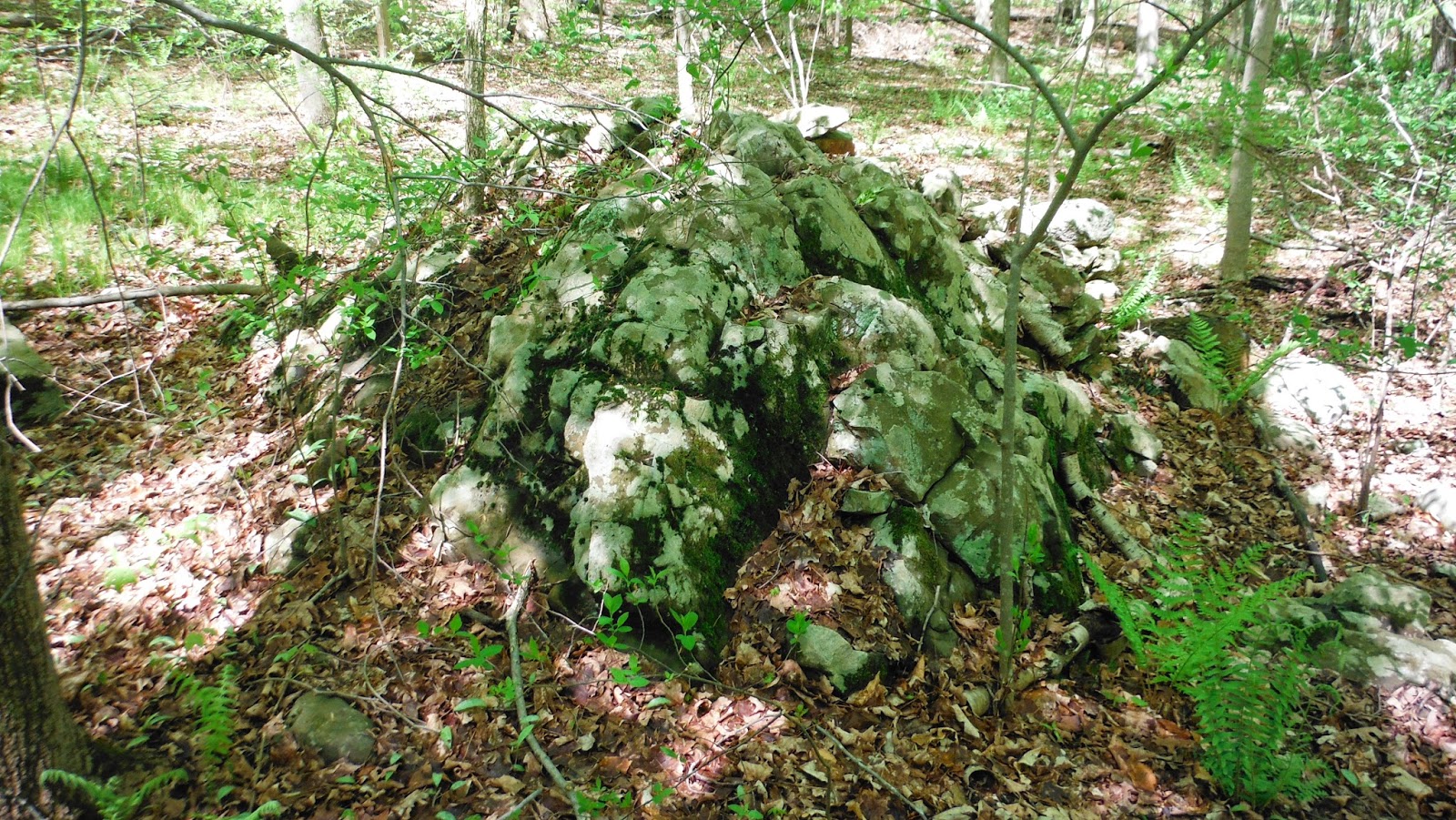

And that last part of the sentence made me kinda jump off into a Turtle Rock Google image search in which I found yet another Turtle Rock I hadn’t seen yet in Ramona CA, pictured above and below:
The better photo was found here:

"Turtle Rock Ridge Winery – Well Hello There Gorgeous"
     “A windy (perhaps the author means winding?) Ramona road led us to an extraordinary family run winery tucked away on a hillside. A huge boulder in the shape of a turtle, the winery’s namesake, stands guard over the grounds; perhaps providing good luck for the winemakers for the years to come. I, for one, truly hope this is the case; in 2007 the Witch Creek fire swept through Ramona, burning up homes, farms, trees and even dreams…”
Posted by Shannon McCollough on Feb 25, 2013 in Winery Spotlights:
    There’s a lot more, I suspect, to be found about this Stone or Rock – or maybe not.
That text from Kroeber also says: In those days they used to sing songs to kill each other by witchcraft, and Lucario knows these songs. He has one of them which mentions the turtle rock, and tells how it was left there.2" The large flat rock is divided by cracks which resemble the marks on the turtle's back.
Lucario is the last of his line, party, or clan, and everything sacred will be lost when he is gone, as the succession in these things ends with him. He is dispossessed from his ancient home place, which was allotted to another.” (Kroeber, 158-9)
     Little fragments from all across Turtle Island hint that just about everywhere, on all those Cultural Landscapes considered Sacred Homelands to many different groups Indigenous People, every place had a song or story, all features of the landscape, seen and un-seen, had names of  that the children were taught as they learned the oral histories of pre-contact times.
    Some are remembered and some are forgotten.
    Where I live there is so much more of the latter, and very little of the former.
    I think I see Stones that might have un-remembered stories to them around me – and I’ve driven through Landscapes in Southern California that look much like this photo below, and felt a “tingle” inside me that says “Here’s another Special Place.”
    “Ramona Grasslands: Hundreds of years ago, grassland covered more than a quarter of the planet. Today only a fraction remains and less than 8 percent of those areas are protected…” it says in the article I stole that photo from...

       What it doesn’t say is “Indigenous People maintained and expanded those grasslands with fire.”
        It also doesn’t say that there were many other resource zones, if not created by Indigenous People, then they were places tended by Indigenous People for thousands of years, with songs and ceremonies, also sometimes remembered and sometimes forgotten, some as recently as the 1940’s (in Northern California) or some places where it never stopped and continues still, according to Dennis Martinez:
      Perhaps someone might have “sang to make water come here," perhaps sculpted some stones into perhaps a desert tortoise, perhaps into some underwater or underworld Serpent whose name, songs and stories as well, might or might not be remembered…
    

Thursday, June 05, 2014

9000 year old caribou hunting structure beneath Lake Huron


An article detailing the discovery of a 9,000-year-old caribou hunting drive lane under Lake Huron appears in (the Apr. 28, 2014) issue of the Proceedings of the National Academy of Sciences.
“The main feature, called Drop 45 Drive Lane, is the most complex hunting structure found to date beneath the Great Lakes. Constructed on level limestone bedrock, the stone lane is comprised of two parallel lines of stones leading toward a cul-de-sac formed by the natural cobble pavement. Three circular hunting blinds are built into the stone lines, with additional stone alignments that may have served as blinds and obstructions for corralling caribou…”


A 9,000-year-old caribou hunting structure beneath Lake Huron

1.      John M. O’Sheaa,1
2.      Ashley K. Lemkea
3.      Elizabeth P. Sonnenburga
4.      Robert G. Reynoldsb, and
5.      Brian D. Abbottc
1.        Edited by Bruce D. Smith, National Museum of Natural History, Smithsonian Institution, Washington, DC, and approved April 8, 2014 (received for review March 7, 2014)
Significance
Some of the most pivotal questions in human history necessitate the investigation of archaeological sites that are now under water. These contexts have unique potentials for preserving ancient sites without disturbance from later human occupation. The Alpena-Amberley Ridge beneath modern Lake Huron in the Great Lakes offers unique evidence of prehistoric caribou hunters for a time period that is very poorly known on land. The newly discovered Drop 45 Drive Lane and associated artifacts presented here provide unprecedented insight into the social and seasonal organization of early peoples in the Great Lakes region, while the interdisciplinary research program provides a model for the archaeological investigation of submerged prehistoric landscapes.


Friday, May 30, 2014

Hokey Smokes!

     While many of the "cleaned up" stones piles at Acton's Trail Through Time on Peter's post of 5/29/14 {http://rockpiles.blogspot.com/2014/05/actons-trail-through-time-nashoba-brook.html} reminded me of the stone piles in my own Chickenyard Through Time here at Happiness Farm in Woodbury CT, there is one particular stone pile that made me exclaim out loud (and wake up the cat) when I saw it:
PWAX Photo

   You may or may not say "Hokey Smokes!" when you see this, the first clue to me that what I assumed were old farm heap's o'trash and "cleared out of the way on a non-existent wilderness on the one-time (1659) Frontier of European Colonial Civilization to tidy up around one of the oldest houses still standing" stone refuse piles were actually Indigenous Stone Piles. I was gathering wood and picked up a small branch  by the old chicken coop when I first noticed this rather Testudinate grouping of stones:
Actually that is not my first photo of the Petroform, but a much better one taken after some of my own careful clearing and cleaning a few years later. Do I know exactly why there seems to be one bigger wide foreleg and one smaller more sort of pointed foreleg on many other Turtle Petroforms I believe I see? No, I don't. I just know that it is sometimes but not all the time so.
I'll highlight and desecrate Peter's photo to show you what I mean:
The forelegs may be reversed on the sides of a similarly shaped head stone but I think I see them clearly. And while not identical but similar, the same may be true of the carapace stone with a similar pointed nuchal scute thing going on (as opposed to a recessed "notch"), the Chickenyard Petroform as it is seems more realistically sized, although the two stones beside the Acton Petroform may suggest there may or may not be some stone scutes missing from the construction that as it is doesn't seem as realistic a representation. Note that smallish lighter colored stone in both stone piles between both possible head stones and right front forelegs. In the Chickenyard, they appear to possibly be stones to prop the carapace up so that the legs could fit into that upper shell properly... 
Feel free to say "Hokey Smokes!"

Thursday, May 29, 2014

Half Tide in a Sea of Ferns

(Rhomboid Stone:)
(3 Closing in on suspected single stone?) 


(View above and view below:)


(Another series of 5:)


Monday, May 26, 2014

Scuppo Rd. Box Turtle Surprise

     "Today's the day," I said to my grandson, "that we take a close look at that stone." I'd been saying "One of these days..." for quite a while and last Saturday was indeed the day. The area just became an "Open Space" property, although I'd taken a brief trespass into it a time or two - even had a Serpent Surprise there once a couple years ago: {http://wakinguponturtleisland.blogspot.com/2012/06/serpent-surprise.html}.

   I wasn't even really 100% certain that this was either a boulder or a pile of stones until we got closer - and saw that it was actually both; the westerly side was stones while the other sides were boulder:


As we circled around (as if it would somehow get away from us), we saw that the boulder sort of looked like a pile of stones, something I'm sure might have a good sort of geological name:

A "pudding stone" boulder??


But that westerly side had a head-like feature that reminded me of a turtle, combined with a high-domed shell, that suggests, to me anyway, a box turtle:
(- and those may be feet to the bottom left - maybe a second turtle head.
Could it be two turtles, giving this post at least an R-rating?)
Enhanced:
Box Turtle Shaped Boulder and Stones (or Testudinate Petroform) on left,
man shaped man with hat shaped hat on right:
And perhaps that is another turtle nearby:

A single stone petroform perhaps, just the head and shell apparent, I'm sure there will be future posts from further investigations - my grandson mentioned finding a cave at one time...