
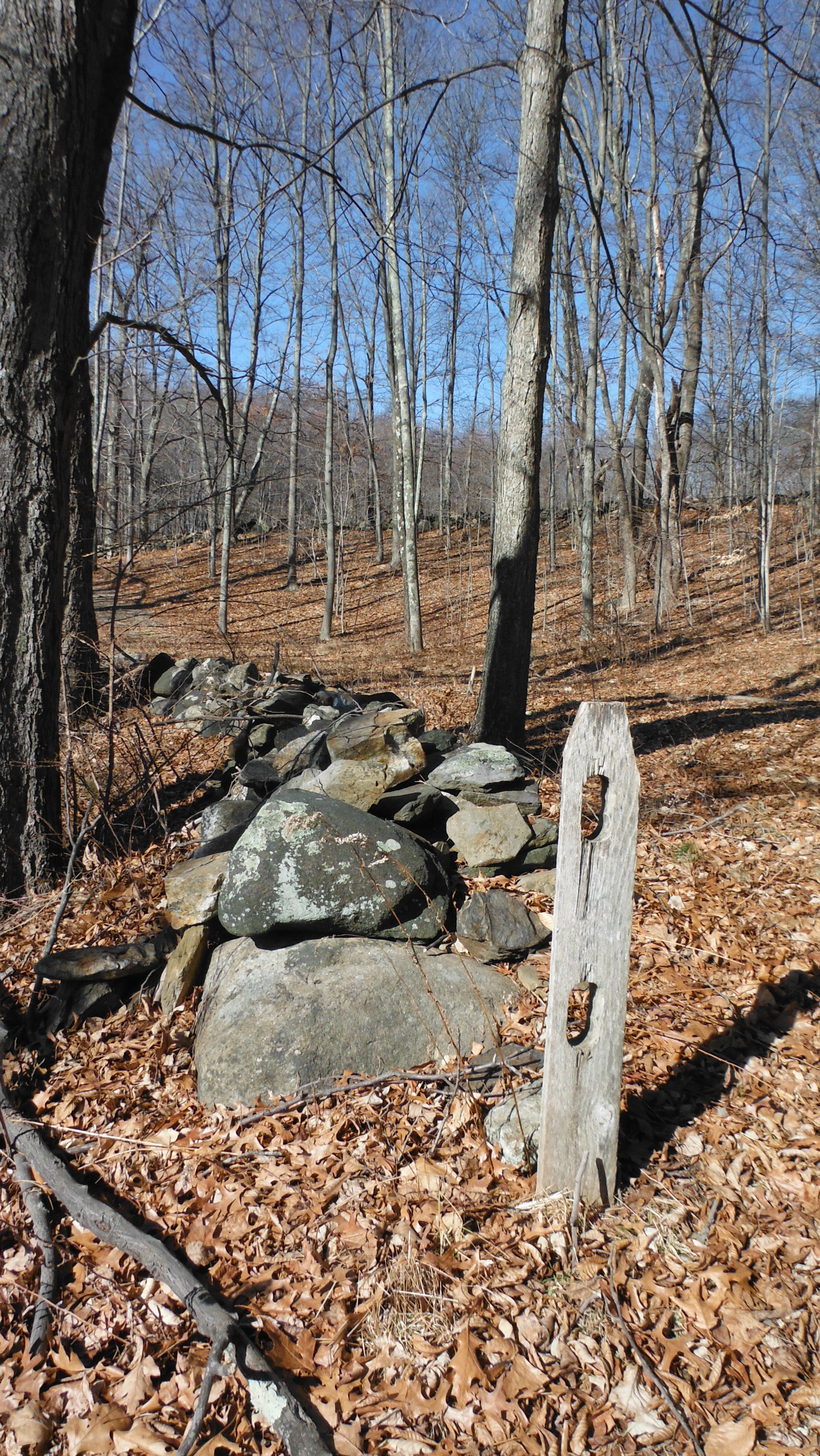
Above: Interesting Stonework, one of many places I'd love to "groundcheck the stone walls."
Now and then, I drive that presently paved Wood Creek Road that cuts across the bottom left of the LiDar image. I drive it slowly, looking at the way the stones are stacked along (often both sides of) the roadside, and sometimes I stop to capture a photo of those "cart path gateways," Serpent Gateways hidden in plain sight on the edge of two present day towns in Western CT:

Above: Looking to the East, or really, "a little south of east."
"Farmers' Fences," some might say, "Leading into Farmers' Fields:"

Above: 1934 Aerial Image (Apple Orchards, Cow Pastures and Hay Fields)
Below: Same place, in the early 21st century.

(Deja vu: https://wakinguponturtleisland.blogspot.com/2015/01/another-possible-ophiomorphic-petroform.html)
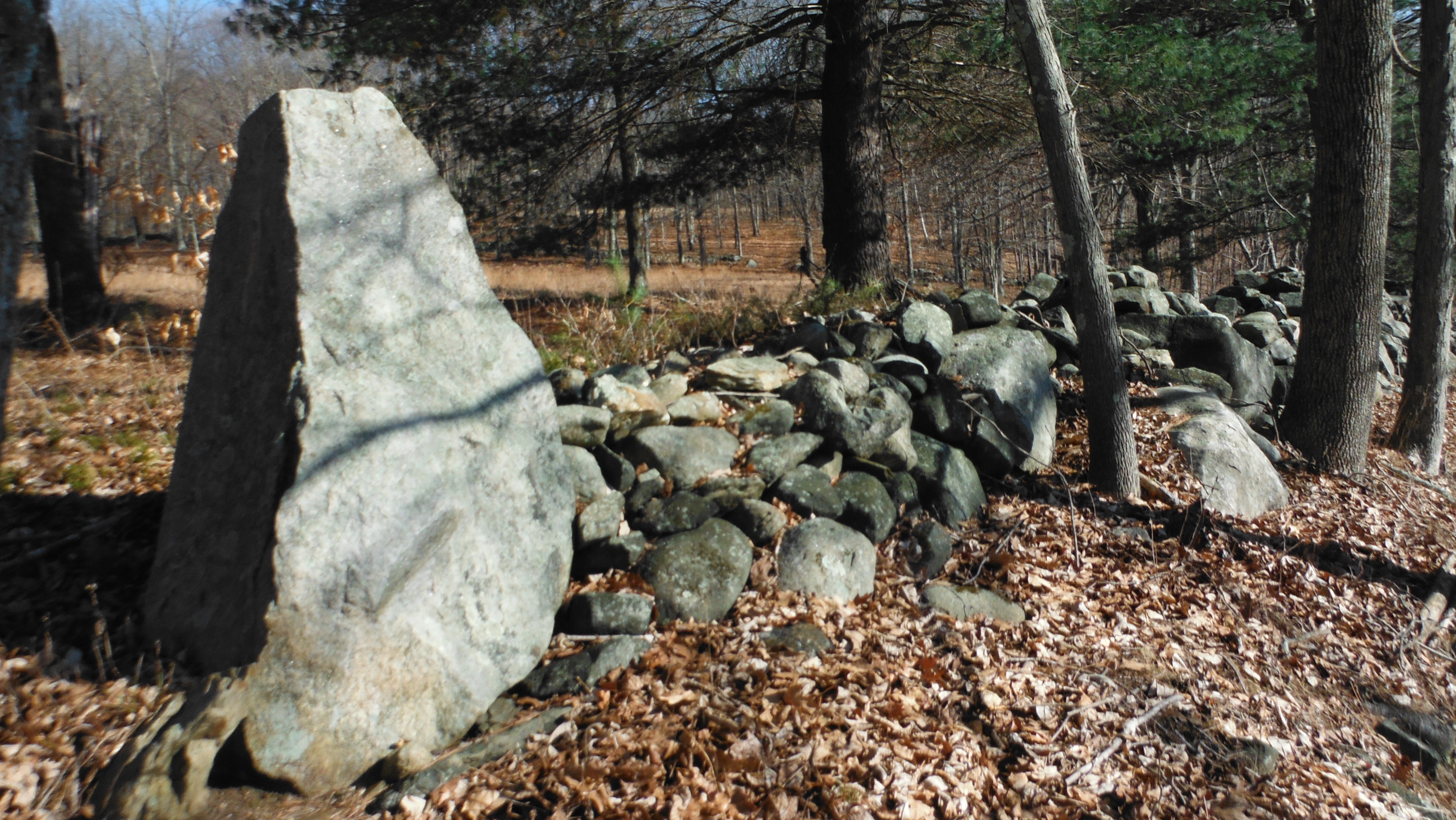
An used (un-blogged) photo in that batch of photos causes me to pause, first trying to use the row of stones in the distance to place it in perspective on the aerial images, and then suddenly I find myself looking at a certain shadow:

I'll use that "Uktena" description, the "knows your intentions" description, because the head is at an angle and not "straight on," like quite a few others at certain "gateways," including the one on the other side of the "barway" opening into the enclosure:

The Overlay:

The other "gateways" along this little stretch, I've blogged them before - one of these days I'll go back when I'm feeling better, I keep telling myself...


The very wide opening:

A "cow run?" An Indigenous Game Drive?
Guarded by a Stone Serpent:

A small "bowl" just might be a place to offer some tobacco:


No comments:
Post a Comment