Thursday, February 16, 2012

Another Stone Snake/Serpent Petroform

Or
Flanders Road, the Day After Valentine's


An early morning visit to the dentist brought me to Flanders Road, heading to the Apothecary, which was closed. But along the way, a stone on a recently storm cleared slope of an outcrop caught my eye.

This is very close to (and might be where I once parked for a Nature Center led hike to) Quanopaug Falls.

Actually that’s not the way it looked, captured in the moment when I first saw it, the sun low in the sky, the slight coating of ice, the jaws of stone holding the boulder, a prize winning photo. Instead I broke the record of having a large number of exhausted rechargeable batteries in my “I hope there’s a camera in that bag.” This photo is a lame reenactment of the moment of beauty I first saw when I first drove by. I went back after the drug store opened and I’d dropped off my prescription.

There’s a little parking area north of this, not too far from “Jaws.” I’d noticed stone rows on either side, so I decided to take a little walk while I waited for the prescription to be filled.

Technically, it was a Heyoka Circle walk, a counter clockwise circular stroll up the western slope of a ridge. I’m a Wise Fool, so I can do this sort of thing quite easily, without hardly trying.


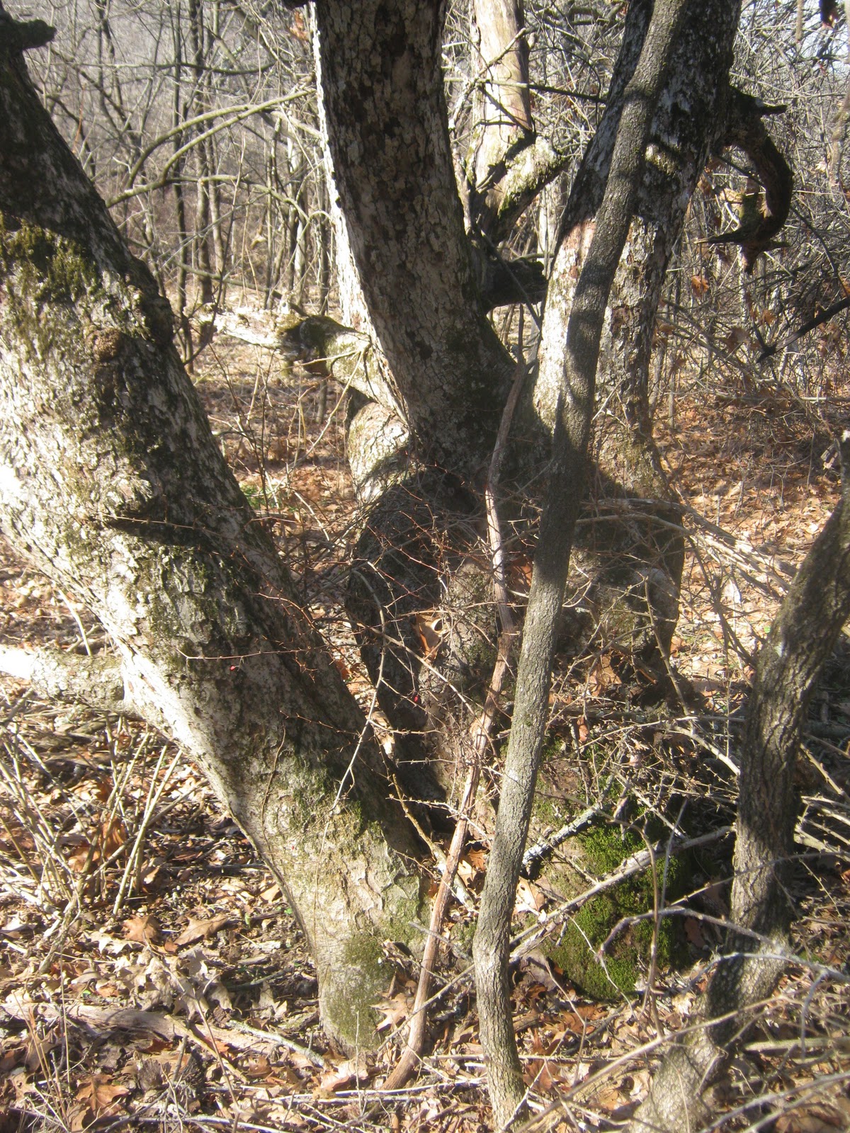
The N/S roadside stone row has probably been robbed of stones, the cobbles mostly; it may have been straightened out after 1659, but maybe not. The E/W junction turned out to be a zigzag stone row…

Crossing the branch of the river, things got interesting to an easily amused clown like me. There were two linear N/S rows intersecting the zigzag, with a little gapped zigzag piece ending halfway between the two linears, the opening toward the west…

Details west of river:

Linear details:


The upward zigzag had lots of interesting quartz pieces to it, sometimes the point stones of the zigs and/or zags…
(Rock Pile-like Segement, possble Bear:)


There was a gap and then a large end stone boulder that approached Volkswagon bug size but not quite…
(Three Faces Theory: head-on, it's a snake. Looking south - second of the 3 views - it's asleep. Looking north, open jaws, perhaps the Egg in the Mouth deal, as in the Ohio Mound???)

And the row became linear…
Detail:


It ended about 100 feet away…

The ridgetop is outcrop and old oaks, seemingly stone construction free, but perhaps a revisit will prove different, since my prescription should be refilled.
One last photo, the bend in the Heyoka Circle, east side of the river branch, custom made for me to return to the car, along a stone row all the way...

Tuesday, February 14, 2012

Monster

(Monster May 2010)
Diesel powered Monster
Chewing into the river
Biting into the banks
Over there where
Water flows uphill toward Money


Fish Weir in the Middle
Belongs on the Historic Register
How long before the Monster

                    Wants to eat the stones and puke them back out

To make sure that
Water flows uphill toward Money

THE STANDING STONES of Pt. Reyes CA (and Wall Unseen)

Monday, February 13, 2012

Watertown (CT) Turtle in a Stone Row on a Hill by the Road

There’s those “stone walls” that you have driven by hundreds or thousands of times in your old hometown, the “stone walls” you’ve been told a bunch of times were built sometime in the last 350 years, a fable that denies that an earlier civilization lived here for 12,000 years or so.
Sometimes the light is just right or perhaps it’s your vision that’s just adjusted so – or maybe it’s both – you’re looking for a turtle because if you aren’t looking for one, you’ll almost never find one.
So I was driving home from my sister’s house.
I was looking for turtles in the stone rows along the way.
One caught my eye:


(Added 1/2023:)


Wednesday, February 01, 2012

Copy and Original

The 6th "Deed" signatures:

The Oldest of the Apple Trees

It's been over 20 years since I wandered back onto a little bump of land above the floodplain of the Nonnewaug River in the spring of 1990 after reading the page reproduced above. It's been a 150 years more or less since William Cothren, the Woodbury Historian, first wandered onto the same plot of land. Cothren wandered back a few years later only to find the stone mounds missing, claimed to have been plowed up, but in reality probably dismantled and plundered for what at that time were called "relics," the bones of human beings and the grave goods that they were buried with.
There used to be an old 1860's map hanging in the stairway of a house on Falls Road that showed an apple orchard just about where Cothren intimated the wood cut illustration above "was struck."
I've wandered about the general area since the early 70's and had been in that "orchard" before. I remembered it as being occasionally mown around the numerous apple trees, a few large boulders, a big patch of low cedar, and a red juniper tree.
"Could I be seeing some of those ancient trees?"  I remember wondering when I returned in 1990. Could they have been pruned back over the years, keeping them small? Some looked sprouted from old roots and way too young, but there were several, most of them now long gone, that seemed possibly maybe to be the Oldest of the Apple Trees.

Above is one I'd recently worried about and hadn't looked at since a recent surprise October Snow Storm that took out a great number of trees in the area. I consider it a minor miracle that it survived the storm. Down in the right hand corner you will note a boulder, perhaps a "manitou stone" that is now laying flat instead of possibly up right, and perhaps you can tell by the noon time shadows that it is to the west of the ancient apple, perhaps indicating where the stone mound once was between the stone and the tree way back before the mid 1800's...
The main trunks of the tree are twisted around each other, something associated with Native Americans, rather than a European method of shaping apple trees in an orchard...

If you walk westward from the tree, you come to a low serpentine row of stones that borders the floodplain. Just after a 100 year flood in the 1980's, there was another row visible to the west of this row, cleared out by the waters that never reached as high as this row in the photo below, that further westward now once again covered in vegatation...
There's a stone row covering that serpentine row a little south of where I stood to take that photo above. It looks "thrown" rather than carefully constructed and I suspect it to be made (sometime between the two visits Cothren recorded that he made here) from the stones that once made up the mounds...

There's a second large old apple very close to this part of the "stone wall."

Get closer to it and you can see that it too has been twisted way back in it's life...

Why apple trees? They aren't native, probably traded for, and just maybe could be "spirit food" for the departed. There's record of another such orchard and gravesites down at the Pootatuck Village on the Great River on Mitchell's farm - and there's photos I've seen of the Burial Grounds at Schaghticoke farther north along the Great River we now call by it's Machican name, the Housatonic, "the river beyond the mountains." Those twisty trees also have similar stone markers, I think to the west of them but I'm not really sure.

From an old sketch book of mine (199?)