"The Hammonasset River was a main digging ground for the Hammonassett people…"
 1934
1934
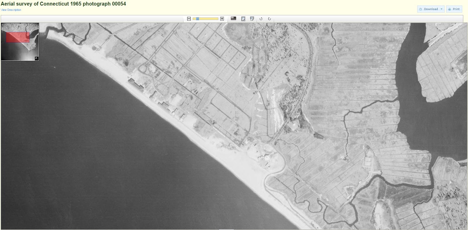
 1965
1965
Old Native American fish trap West Beach
Tim Visel
writes: “In the late 1970’s, the State of Connecticut sought to expand parking
at the West Beach bath houses. To do this, they excavated an area behind the
beachfront, and I watched as hundreds of
old poles 4 to 6 inches in diameter, were exposed. At the time, I thought I was
seeing the remains of a colonial bridge, but now realize that it was an old Native
American fish trap that had been preserved in the acid muck of the previous
tidal environment. I recall the state park had to send many of its large green
dump trucks to carry all the poles from the site. Mr. Miller once told me of a
fish trap in the area, but always thought it was Sound side, not in a salt pond
behind the beach. The practice of trapping fish in such a tidal breach/salt
pond was common by Native Americans. Fish would enter such a salt pond on the
incoming tide and be trapped by a big brush fyke trap net. Salt ponds were
actually preferred for such “vee fykes” were common to catch alewife, flounder
and eels. Many have been found in Maine where the “V” stone wall configuration
can be seen on aerial photographs. At the time, I first thought that the
original salt pond was being created or restored. My enthusiasm waned as fill
was trucked from the site, which yielded a silt-like gray to black sand with
many clam and oyster shells, only to be replaced with crushed stone. It was
very evident that this area was tidal and even the excavation itself soon
filled with seawater, and it became more of a dredging operation that an
excavation one. My disappointment yielded a letter to the Army Corps about
several projects in 1979 and the need to
rebuild, not fill in such salt ponds…
 1893
1893
 1951
1951
Evidence does indicate the presence of Native American
coastal fishing village(s) 1,500 to 2,000 feet offshore of the current high
tide line. The 1960’s hydraulic dredge operation pumped hundreds of artifacts
ashore with the fill. If estimates are correct, since the colonial period,
Hammonasset Beach has eroded an average of 2 feet/yearly (from 1900 to 1955,
200 feet; since 1955, around 100 feet). The age of the offshore site is
suspected to be around 900 to 1100 AD placing it in the proximity of its
current offshore location…”
The
First Shad Fishery© by Timothy C. Visel,
Coordinator The Sound School Regional
Vocational Aquaculture Center
More from T Visel:
"Hammonasset" means, "where we dig holes in
the ground" and refers to the place where a settlement of eastern woodland
Indians farmed along the Hammonasset River. They subsisted on corn, beans, and
squash, and by fishing and hunting. The first colonists arrived in 1639.
Property changed hands frequently between Native Americans and the first
colonists.
In 1898 the Winchester Repeating Arms Company bought
Hammonasset and used it as a testing site for their new rifle. Their Lee
Straight Pull rifle was mounted on a horse drawn stone boat, from which it was
fired into targets on the beach.
On July 18, 1920, Hammonasset Beach State Park was opened to
the public. The first season attracted over 75,000 visitors. The park's
reputation drew tourists from across the continent as well as the state.
During World War II the park was closed to the public and
loaned to the federal government as an army reservation. Meigs Point functioned
as an aircraft range. Planes flew over Clinton Harbor, fired at the range and
then flew out over Long Island Sound.
The stone breakwater at the Meigs Point end of the park was
built in 1955. The stones were brought in by truck from quarries in northern
New England.
Today, over one million people come annually to enjoy
Hammonasset Beach State Park.
The word Hammonasset means, “where we dig holes in the
ground.” Located on Long Island Sound in Madison, the State of Connecticut
flagship state park that bears this name was once a sacred place for Native Americans to hunt and fish…
http://www.tlbarchitecture.com/project/hammonasset-visitor-center/
There has been much recent discussion among archaeologists
in Connecticut on the chances of finding a predisturbed or moderately disturbed
(reused) coastal weir – for eels or alewife. Many feel the best chance of
discovering them is during the stream walk surveys, especially when a 17th/18th
century period ice pond is drained on the headwaters of a tidal stream.
The Cove River site in West Haven is thought to support such Native American
fisheries and much information is already on file. Other areas are certain
to exist.

The “Vee” wall stone alewife traps are easily distinguishable
from their location often between two slow moving stream sections that are
relatively narrow. That leaves about a half mile (depends upon slope)
between tidal waters and headwaters which was usually a “kettle pond” or deep
ponds created as the last ice sheet retreated north about 10,000 years
ago. Alewife needed to reach salt ponds, coastal features that frequently
contained “short runs” and “kettle ponds” spring fed are those more often
associated as “short runs.” Alewife would also return into main “stream”
larger rivers that would break off into smaller streams, the so called “long
runs” each spring as they returned to spawning habitat. Often these small
traps simply look like stone walls built in the stream bed resembling a “vee”
apex pointed downstream. They gathered stream flows to fill it is thought
a series of graduated pools allowing fish to ascend into a trap.

A similar stream survey of Alewife Cove New London/Waterford
(the name does give away its former significance) found that the easterly side
contained tons of winter street sand and below a layer of approximately six
feet of sand lie buried quahogs. Interviews with area residents (The Alewife
Cove Watcher program 1985) indicated that hard-shell clamming occurred here in
the 1920s but by 1985 tons of winter street sand had washed into this region of
Alewife Cove.
http://wakinguponturtleisland.blogspot.com/search?q=chaffinch


#/media/File:Hammonassett_River_Trail_-_Madison.jpg)