Tuesday, January 31, 2012

Reading a Woodbridge Landscape (part three)

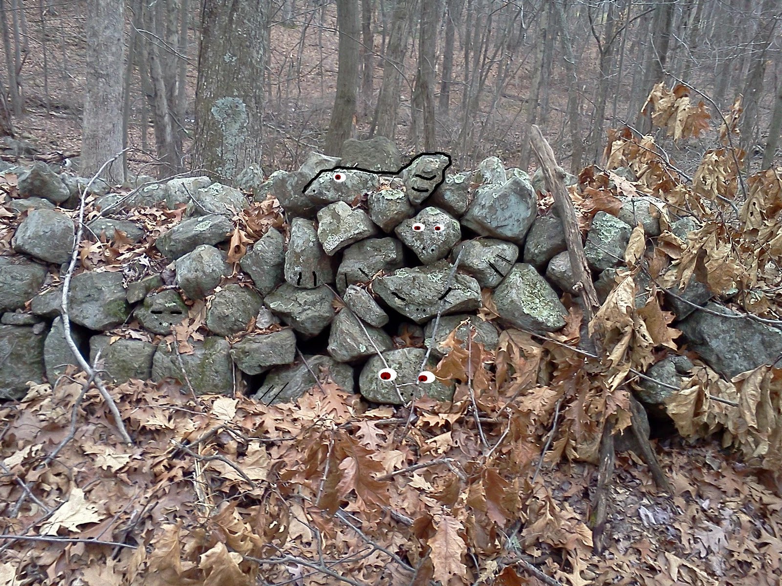
Before leaving the area around the Sperry Farm/Darling house, I should say something about maps and other images since this particular area has a few extras you don't always get to "read."


About 50 years after Stiles published his book on the Regicide Judges, George Henry Durrie was busy painting landscapes of the area. Stiles wrote that the cleared meadows along the western edge of West Rock was known in 1661 as the “Ox Pasture,” and sure enough George “the Snowman” Durrie includes an ox in a painting of the lower end of the pasture.

We find that:“Born in Hartford, Connecticut, George Durrie was known as the "snowman" because of the many winter scenes he painted.  He lived most of his life in New Haven and earned a reputation for rural landscape scenes, especially snow scenes, which he introduced as subject matter in American painting.  His paintings "provide an excellent record of rural life in the mid-nineteenth century and his carefully recorded details of nature and foliage added authenticity to his depictions." ~ http://www.askart.com/askart/d/george_henry_durrie/george_henry_durrie.aspx
You'll remember that in Part One I wrote that Stiles says:
“Let it be observed that at this time, about 3 or 400 acres westward of the town was cleared in a common field, called the ox pasture,” describing the land around the Sperry Farm. What Stiles doesn’t say is that these places may have already been cleared by Native Americans, New Haven originally known as Quinipiac, marked as such on Dutch and other early maps. The “ox pasture” may well have been a cleared meadow or “intervale,” maintained by Indian burning, just as were many high elevations where “the Indians always burned rings or tracts on those summits, to give a clear view for hunting deer…”
That's quite a number of acres cleared by 1661 or so, by a relatively small number of immigrants: "By 1640 a complete government had been established and the settlement, originally called Quinnipiac, was renamed Newhaven...(by) 1641 New Haven had grown into a community of approximately 800." http://www.cityofnewhaven.com/Mayor/History_New_Haven.asp

Bear with me please; Blogger won't let me add the next images, so after several tries I'm giving it up for now...


1915 map showing probable wood lot in Ye Olde Ox Pasture lands, 1934 aerial, crop of the quartz row from the '34 photo, 1965 aerial showing less pasture and more woods.
Will Blogger let me publish?? I'm clicking the button...

Sunday, January 29, 2012

Turtles in a Row

Here’s a stone row, now a border for a land trust possibly called Sperry Pond, where the builders had their turtles rather than their ducks all in a row…


Wednesday, January 25, 2012

Reading A Woodbridge Landscape (Part Two)


Ezra Stiles continues his narrative of his search for the Judges Lodgements by saying, “The second residence is a little more dubious than the first and last, which are unquestionably certain. It was about two miles and a half north of the first, on the west bank of a rivulet running along at the foot of the west side of the West Rock, and about half a mile north of the house of Thomas Darling, Esq… In August 1785, he went with me and shewed me the spot of their little domicile, when some of the wall or stone ruins were then remaining. I examined it with close attention, and made a drawing of it on the spot, one of the Sperrys being with us, and affirming the immemorial tradition, and herein concurring with Mr. Joseph Sperry, who referred me to the same spot.”

I had no trouble finding the Darling House, but never could locate the “little domicile” Stiles wrote about and drew a picture of. This spot half a mile north is outside of the Woodbridge Town Property, policed by people in uniforms who write out tickets if you don't have a permit from the Water Authority - all things I found out the hard way.

Back down by the Darling house, it was uncanny how similar a scene the area of land still is. Reading about it after I had visited, I could have jotted down almost the same thing over two hundred years later, all but the part about the river. These days it’s silted in and is sort of swampy:

"Descending a steep bank, or brow of the hill of upland, sixteen feet, we came to a bottom, or level, forty feet wide, four or five feet above the water of the rivulet or brook, which I measured thirty-four feet wide at that place. This bottom, or level, extended along the bank, on the edge of the river, sixty-four rods, under the brow of the hill, being two to three rods wide. It was a beautiful, shady and pleasant ambulacrum, or walk. The upland on the west side is a level of twenty feet above the river. From under the western brow issues a perpetual spring about the middle os the ambulacrum, running in a perpetual pleasant brook or stream along under the western brow, and discharging into the rivulet. The rest of the bottom is not wet and marshy, but dry and salubrious. The whole on both- sides of the river was, in 1785, inveloped in trees and forest, and yet the bottom was not so charged with trees as to be impassable, being only a pleasant shady retreat, in which a philosopher might walk with delight. Near the end of this walk, closed in at each end by the curve row of the hill coming down to the very'brink of the rivulet, was situate the hut of the Judges under the side or brow of the hill. Evident traces of it remained in 1785. It was partly dug out of the side of the hill, and built with stone wall, about eight feet one way and seven the other. The western wall was yet standing perhaps three feet high, and a remnant of the north wall. The site, when I saw it, was filled with weeds and vegetables, and bushes, in the manner of old cellars, for it seemed to have been dug out a little lower than the surrounding surface of the bottom. The remainder of the stone work evidently shewed that it had been built with design : and unvaried tradition say it was one of the abodes of the Judges. They could not have chosen a more secret, hidden, and pleasant concealment. They probably came to it next after they fled from the first Cave…It is not improbable that in this space of time they resided in Sperry's house, or perhaps in the adjacent woods part of the time…For some reason however they do not seem to have sojourned here long: The Sperry's farm tradition says, because the Indian dogs in hunting discovered them. They therefore sought another lodgment…”

It is a shady retreat – you can tell by the blurry photos I took in the low light. It’s still “inveloped” by trees and forest – and it was difficult to tell the difference between the trees and the forest. There were very well formed stone rows reaching up to the slope of the West Ridge, containing Native American cultural motif’s in the artistically stacked stones and boulders of this row. There were a few stone piles as well…
Above, a face-like cobble, below, a closer look reveals broken "jaw" and skull cap...
Above from a distance, below detail of large prominent boulder on mound...
To be continued, up by "The Lodge" or, as President Stiles writes,
"HatchetHarbor, or spring (at which I found an Indian stone god)..."
( really not much more than a re-write of http://wakinguponturtleisland.blogspot.com/2009/05/aka-lodge.html since I didn't investigate the cliffs below it very well, locate the spring or the remains of the walls of a structure...)


Tuesday, January 24, 2012

Reading a Woodbridge Landscape (Part One)


All too often, it’s difficult to find that someone from the past has taken the time to write down anything at all, much less observations about Indian structures made of stone.

Except of course, Ezra Stiles (1727-1795).

Mavor and Dix brought Stiles up in Manitou; the Sacred Landscape of New England’s Native Civilization, introducing him at the beginning of Chapter 7. They say he “was one of the few people of his time to have recorded stone structures known to be of Indian origin (169).”

Above: Stiles map of (Indian) Lodgements used by the Regicide Judges of New Haven CT from http://books.google.com/books?id=MBIPAAAAYAAJ&printsec=titlepage&source=gbs_summary_r&cad=0


Mavor writes that he and Dix were particularly interested in “Indian stone gods” that Stiles found, collected, wrote about and illustrated that they felt might have been “the New England equivalent of Hopi spirit stones (found) at places we considered sacred to Indians.”

In the spring of 2009, I found myself working down in Woodbridge CT near a few of the places where Stiles found and wrote about the stone structures – and one of the “Indian god stones” as well.” By coincidence I found that most of these places are now Town Properties, open space land preserves complete with trail maps. The other great coincidence was that my friend Peter used to live on the edge of one of those preserves.

I was easily able to find an on-line edition of Stiles “A history of three of the judges of King Charles I” that chronicles Stiles efforts to find the hiding places of the Regicide Judges in 1661.

Stiles writes: “Let us now trace out these exiled pilgrims in their several retreats, migrations, and secret residences.— To begin at New-Haven where they…retired from town, to the west side of a rock or mountain, about 300 feet perpendicular, commonly called the West-Rock.”


This is a rather famous spot, subject of paintings (Including this one on a cigar box), and presently a CT State Park (See: http://en.wikipedia.org/wiki/West_Rock_Ridge) and I did drive up there one day to look at the Judges Cave, a rather disappointing site that people seem to have confused with a trash receptacle. It’s also hard to get to from the center of town, up a sheer rock wall where people often get trapped on, illegally hiking or rock climbing. I had to drive around the east side of the ridge to get there.

I was more often than not parking at my job location on the old Litchfield Turnpike, just south of the Darling House and the Bishop’s Trails Preserve, at the “southern extremity of West-Rock…about two and a half miles N. W….parrallel with the West-Rock…an interjacent bottom, or plain, three miles long, containing a thousand or twelve hundred acres of excellent land, which Mr. Goodyear, a rich settler, had bought of the town, and on which he had planted his farmer, Richard Sperry, which farm Richard Sperry afterwards became possesed of, and now for above a century it has gone by the name of Sperry's Farm,” or so president Stiles believed.

(Stiles later writes that Sperry’s Farm became the property of Thomas Darling, Esq. whom Stiles describes as a “gentleman…a man of literature and solid judgment.”)

“On this tract Mr. Goodyear had built Sperry an house,” Stiles tells us, one of “the only two houses in 1661 west ward from New-Haven, between this West Rock and Hudsons River, unless we except a few houses at Derby or Paugasset. All was an immense wilderness. Indeed all the environs of New-Haven was wilderness, except the cleared tract about half a mile or a mile around the town, which was laid out and built with 100 or 120 houses on a square half mile, divided into nine squares...”

Stiles sort of contradicts himself then by telling us, “Let it be observed that at this time, about 3 or 400 acres westward of the town was cleared in a common field, called the ox pasture,” describing the land around the Sperry Farm. What Stiles doesn’t say is that these places may have already been cleared by Native Americans, New Haven originally known as Quinipiac, marked as such on Dutch and other early maps. The “ox pasture” may well have been a cleared meadow or “intervale,” maintained by Indian burning, just as were many high elevations where “the Indians always burned rings or tracts on those summits, to give a clear view for hunting deer…”

Durrie painting from 1850’s, hayfields and sheep pastures at the foot of West Rock Ridge, looking toward Westville section, East Ridge in the distance. I don’t see the church marked on the map:


Stiles writes:”I have described their first residence in the Cave on the Rock. Mr. Sperry told me of two others, one about two miles north, and the third at the Lodge and Fort, so called, about four miles north-west in the wilderness. These I afterwards visited…”

So did I…(to be continued)

Sunday, January 22, 2012

Woodbridge Turtle Petroform

An image I found in a folder that should have been in the "Woodbridge" collection. 
It's a better photo of the stone pile described at

Saturday, January 21, 2012

Virtual Camp Whiting Tour

It's snowing where I am, maybe where you am too.
Take a walk back in time to 2009, early Spring, down in Woodbridge CT. Let's take a look at the trail map...
and a closer look:
I'll meet you at the gate across the street from the parking lot by the Darling House on Litchfield Turnpike where I will be puzzling about the modifications to this "stone wall" and looking for possible turtles contained within it...
The "stone wall" on the left as we walk in on the Blue Trail of course distracts us. We puzzle about the large Boulder and the stone rows around it, spot this stone in the row...


We get back on the trail again by the Boy Scout Lodge...
But we scoot up the hill to the left (west) a moment to look at some stones that seem to stand out:


We circle this one...
We say we'll look these up and then forget to...

I'll postpone following this one uphill and head down to the trail, snapping a photo without putting on glasses, resulting in an out of focus picture...

A deer watches us:

We try to stay on the path, but this demands our attention:


We go back to the trail...


Another one!


Time to turn back, we snap one more
wonder about this crime scene


head back to the cars, the west ridge in the distance...


Step back farther to 1934 (above).