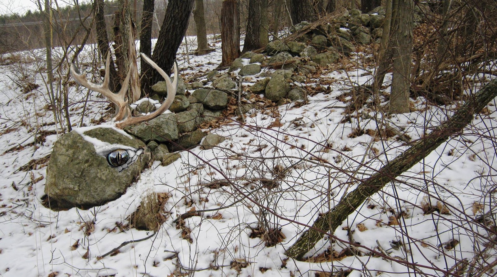
"At
the Mohegan Retirement Community, for example, arched openings in the base of
the tall stone walls that mark the Fort Hill Farm fields (Photograph 35) were
made by 19th-century Mohegan stoneworkers to allow the Little People to pass
(E. Thomas, personal communication). "

"The
Connecticut State Register of Historic Places criteria were also applied to
potentially eligible resources; the three state criteria are identical to
National Register criteria A, C and D. The quality of significance in American
history, architecture, archaeology, engineering, and culture is present in
districts, sites, buildings, structures, and objects that possess integrity of
location, design, setting, materials, workmanship, feeling, and association,
and: A. Association with events that have made a significant contribution to
the broad patterns of our history; B. Association with the lives of persons
significant in our past; C. Distinctive design or physical characteristics,
including representation of a significant entity whose individual components
may lack distinction; D. Demonstrated ability or potential to yield important
information about prehistory or history. In addition to meeting at least one of
the National Register eligibility criteria, eligible resources must possess
several of the seven aspects of integrity: location, design, setting,
materials, workmanship, feeling and association. National Register-eligible
TCPs must meet National Register criteria and also be supported by a
combination of historical and ethnographic data, and oral tradition carried by
the population to whom a TCP is significant.
Now, the
Mohegans again live on the reacquired farm, in the Mohegan Retirement Community
building immediately south of the APE, which was built on the former Fort Hill
Farm property because of the “protective spiritual energy” the Mohegans believe
to emanate from Mohegan Hill (Quinn 2012).
(page 6)
As defined
by the Mohegans, the cultural components of the district are more than the
geography, stone formations, waterways, structures or remains of structures.
They were all connected by a web-like network of paths across Mohegan Hill, a
number of which survive (an example is at the base of Proposed Action parcel in
an old path through Fort Hill Farm, now the Mohegan Retirement Community)
(Fawcett 2000: 10-11). For the Mohegans, the natural and cultural components of
the landscape have deep spiritual and religious meaning and attachment. The
tribe believes that the rocky, wooded landscape is home to the Makiawisug, or
Little People of the Woodlands, who live deep in the wooded grounds of Mohegan
Hill and protect the Mohegans from harm. Mohegans make regular offerings to the
Little People, who are rarely seen, and accommodate them in other ways. At the
Mohegan Retirement Community, for example, arched openings in the base of the
tall stone walls that mark the Fort Hill Farm fields (Photograph 35) were made by
19th-century Mohegan stoneworkers to allow the Little People to pass (E.
Thomas, personal communication). The tribe believes that the stone piles
documented by HPI on Fort Hill in the Proposed Action parcel are sacred because
they were created and are guarded by the Little People, and they have the power
to protect Mohegans from outsiders. Fort Hill, as part of Mohegan Hill, is also
believed by the Mohegans to be protected by the spirit of Uncas, who the
Mohegans believe lives “among the sacred stone piles and trees on the Hill”
(Quinn 2012), and who causes rocks to be thrown down on people who would harm
the tribe (Speck 1928: 254; Fawcett 1995: 537). To ensure his continued
protection, tribal members still make offerings to Uncas at Uncas’s Spring, across
Route 32 from Fort Hill. The spirit of the “Mohegan Stone Cutter,” believed to
be the noted Mohegan stoneworker Henry Mathews, also protects the Hill,
according to tribal tradition. The Mohegans believe that “protective energies”
reside in and emanate from Mohegan Hill. The stones used to construct Uncas’s
Fort on Fort Hill were “taken from Mohegan Hill because of the protective
energies that emanate from that location.” When the Mohegan Church was built,
its foundation was constructed with “sacred stones” from the proposed
development area on Fort Hill, in order to imbue it with the Hill’s “protective
energies” (Quinn 2012). “Mohegan people used stone from Fort Hill because they
believed in its protective powers and connection to Uncas whose spirit still
lives and protects the Hill” (E. Thomas, personal communication). Other stone
landscape features on Mohegan Hill have long been and continue to be important
in Mohegan cultural traditions, including Moshup’s Rock near the Mohegan
Church; Papoose Ledge, Red Rock, and Uncas’s Chair near the Thames River; and
Uncas’s Rockshelter at the base of Fort Hill adjacent to the Proposed Action
area. On the east side of Fort Hill along Route 32 on the side of Parcel B, was
a rock on which pictographs were made by the Little People, according to
Fidelia Fielding, the last fluent Mohegan speaker, but it was destroyed “by
roadmakers” in the early 20th century (Speck 1909: 201). -7-
a) Rocks/Stone Piles/Rock Features The
natural features of Mohegan Hill, particularly the stones and wooded areas,
have great spiritual and sacred significance to the Tribe and are closely tied
to their identity and sense of self. In Mohegan tradition, Mohegans are inseparable
from the natural rocks on the Hill. The late Medicine Woman Gladys
Tantaquidgeon learned from her elders (nanus), and passed down to current
Medicine Woman Melissa Tantaquidegon-Zobel, the understanding that “In the
Mohegan language, the spirit of rocks is acknowledged in the names for our
leaders: a male leader is called sachem (which means rock man) and a woman
leader is referred to as a sunqsquaw (which translates as rock woman)” (Fawcett
2000: 21). To the Mohegans, “[t]he tales of the elders are as old as the rocks
on Mohegan Hill. Those rocks are the bones of Mother Earth. Streaked with
quartz crystal veins, they contain hidden messages that guide generation after
generation of those who listen well” (Fawcett 2000: 21). Pages 10 & 11
b) b) Stone Piles and the Little People
The stone piles on Mohegan Hill, including those identified in the Proposed
Action area by HPI (Figure 4; Photographs 1-7), are considered “sacred stone
piles” and “a critical feature of the traditional landscape of Mohegan Hill”
(Quinn 2012). The piles are “sentinels” and are “a testament to the sacredness
of the Hill” (Thomas, personal communication). The piles “were created by the
‘Little People’ who live deep within the ground of Mohegan Hill” (Quinn 2012).
The Little People themselves are actually from stone: Medicine Woman Melissa
TantaquidgeonZobel explains that they “are hard and bulky and born of stone”
(Fawcett 2000: 31). The Mohegans believe that the Little People “still live
within the ground on the Hill and continue to guard the stones” and that “the
stones are protective because they come from Mohegan Hill” (Quinn 2012).
Contemporary Mohegan tribal members continue to make offerings to the Little
People in hopes that they will continue to protect the tribe (Fawcett 1995:
58).
c) c) Other Natural and Cultural
Features of the Mohegan Hill District Frank Speck recorded (and mapped, see
Figure 12) several springs on Mohegan Hill as important to the Mohegans: “At
several localities in the heart of the Mohegan settlement springs...