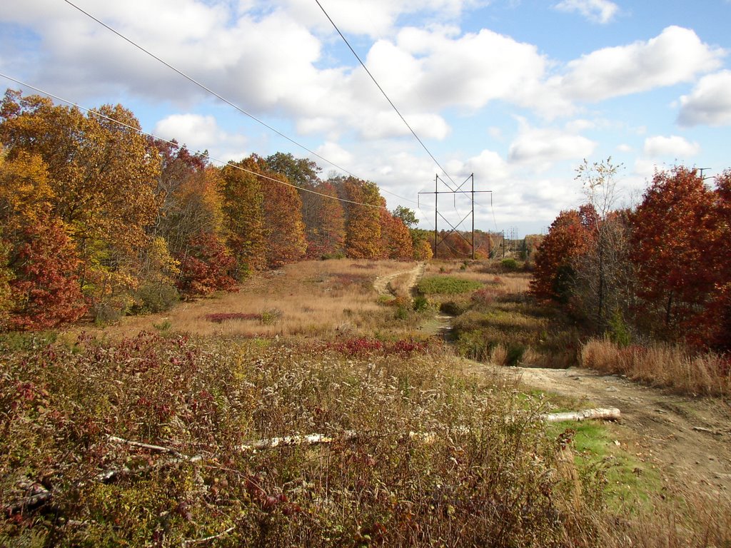
I was just looking at the photos from the other day and, thinking back, I recall not only how many stone rows have dissappered, but also how the blueberry population has declined, up under those power lines.
Because I once worked in the Blueberrie Barrens of Washington County in Maine one summer many years ago, I knew the Indian custom of burning over fields on a four year cycle still continues up there (or Down East as they say).
Maintainance of the power lines and the access roads in recent years involves chains saws and herbicides that kill the bluberries that grow in the sandy soil and need a nematode that lives in its roots (see links for more detail).
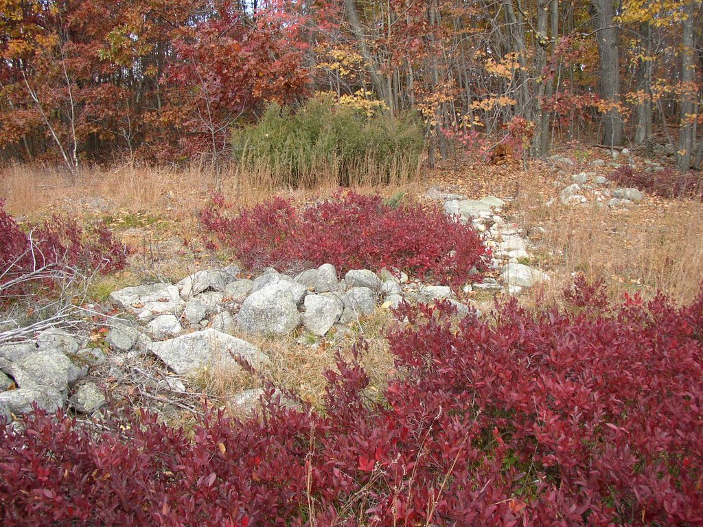
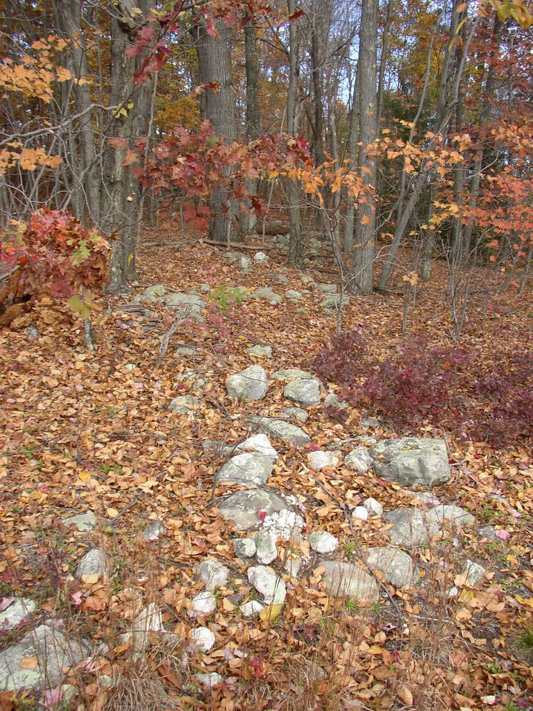
In my imagination, in the years before 1700, going back who knows how far, maybe this was an area of low bush blueberries, maintained by burning over sections every four years, those sections selected and controlled by those zigzag rows of stone...

"Low bush species are fire-tolerant and blueberry production often increases following a forest fire as the plants regenerate rapidly and benefit from removal of competing vegetation. (from: http://en.wikipedia.org/wiki/Blueberry )
The row leads into what is now forest...

Blueberry Links:
http://www.wildblueberries.net/bluehistory.html
http://wildblueberries.maine.edu/TableofContents.htm
http://www.nsac.ns.ca/wildblue/facts/pruning.htm (most often "fire pruning")
http://www.downeastsoilwater.org/blueberry.htm
Best pictures yet of those zig-zags.
ReplyDeleteHey Tim. I came back a couple of times today to look at the pictures. Just great colors and zig-zags.
ReplyDeleteThey really are good illustrations of the rows - of course I was going up to get photos of mounds;it's OK-they're all connected.
ReplyDelete